
Peculiarities of solving the issue of compliance of the boundaries and location of the land plot with the title documents
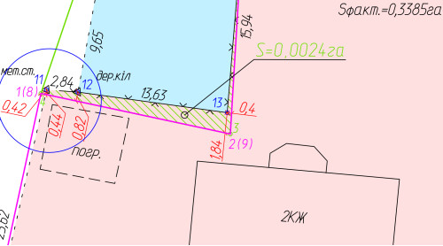
Forensic land and technical expertise. The specifics of solving the issue regarding the compliance of the boundaries and location of the land plot with the state act on the ownership of the land plot (for example, 2010) are as follows.
I will try to write in simple, understandable words for most people.
In order to answer this question, it is necessary to provide the expert (among other materials) with land management documentation, the development of which preceded the issuance of such a state act (that is, most likely in 2009 or 2010). At the same time, a very important component of such documentation is a catalog (table) of the coordinates of the turning points of the boundaries of the land plot, which determine the exact position of each point (corner) of the boundaries of the land plot on the terrain. A very important point is that both the land management documentation itself and the coordinates of the points in it must be in place just in time before the issuance of the state act.
Providing the coordinates of the turning points of the borders of the same land plot from another, more "later", land management documentation [for example, from the documentation on the establishment (restoration) of the boundaries of the land plot in 2018 or 2020) or from the database of the State Land cadastre - when deciding the issue of compliance of the boundaries of the land plot with the state act, it is inadmissible! Why? Because, as practice shows, the coordinates of turning points in the new land management documentation and/or those entered into the National Cadastre System database may differ from those reflected in the land management documentation, on the basis of which the specified state permit was issued in 2010 act. Why does this happen and the coordinates are changed, corrected, adjusted, etc. — this post is not about that, but such a moment occurs in practice and must be taken into account.
Unfortunately, some participants in the court process and experts believe that providing the coordinates of the turning points, which are entered in the State Land Cadastre, is sufficient for a complete and objective solution to the issue of compliance of the boundaries and location of the plot with the state act.
However, this is not so!
Also, a certain category of people believe that it is possible to "extract" the coordinates of the turning points of the borders of the land plot under investigation from the "base", to which the majority of surveying engineers and/or land surveying engineers, etc., have access today. and use them when solving such an expert task. However, you should also be careful with this, since, in the case of an expert examination by the court, independent collection of initial data for the examination, bypassing the moment of evaluation of the evidence in the case by the court, is also inadmissible.
So think...